

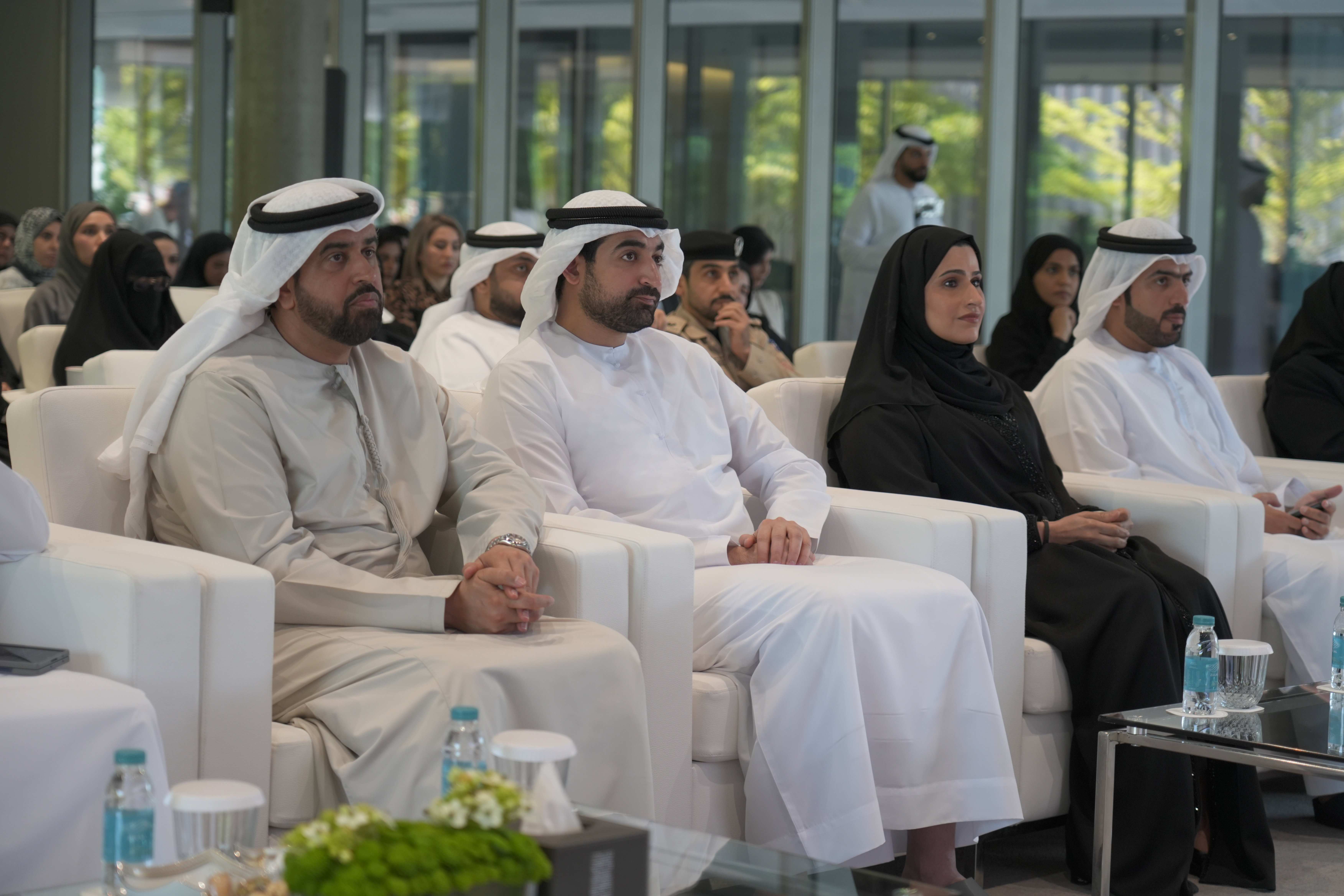
The Sharjah Digital Department (SDD) organised the second edition of the Sharjah GIS Forum, bringing together government leaders, technology specialists, academics, and decision-makers to explore how Geographic Information Systems (GIS) can accelerate digital transformation and strengthen government integration.
Held under the theme “Digital Transformation Through Geographic Information Systems”, the forum reflects Sharjah’s broader vision of creating a digitally connected government ecosystem built around intelligent data, integrated services, and more effective decision-making.
The event was attended by Saud bin Sultan Al Qasimi and welcomed more than 150 experts and specialists representing government entities, academic institutions, and organisations involved in GIS and digital innovation.
GIS Positioned as a Strategic Driver of Digital Transformation
The forum focused on demonstrating how geospatial intelligence is becoming a critical enabler of modern governance.
Discussions explored how unified geospatial data can:
- Strengthen integration across government entities
- Improve planning and policy decisions
- Enhance public service delivery
- Support digital government initiatives
- Accelerate data sharing and operational efficiency
Organisers highlighted that GIS is increasingly moving beyond mapping and technical applications to become a strategic capability that connects data, location intelligence, and real-world decision-making.
Sharjah Reinforces Vision for an Integrated Digital Government
During the opening session, Lamia Al Hosan Al Shamsi emphasised the growing importance of geospatial information as a strategic asset supporting planning and public-sector performance.
She noted that Sharjah’s digital transformation agenda focuses on building an interconnected government model where services, entities, and data operate through a unified digital infrastructure.
According to Al Shamsi, this approach supports:
- Faster data exchange
- More informed decision-making
- Improved government coordination
- Enhanced quality of life for residents
She added that GIS plays an essential role in enabling these outcomes by connecting information across sectors and supporting more coordinated government operations.
Forum Highlights Practical Applications Across Key Sectors
The event included an introductory showcase demonstrating GIS applications across major sectors including:
- Food and agriculture
- Infrastructure
- Smart cities
- Environment
- Sustainability initiatives
The programme also featured:
- Four expert presentations delivered by specialists from UAE government entities
- Two panel discussions with industry leaders and experts
- A technical session presenting the latest GIS technologies and solutions
Supporting a Future-Ready Digital Ecosystem
The Sharjah GIS Forum continues to position itself as a collaborative platform designed to promote innovation and strengthen partnerships between government, academia, and the private sector.
By encouraging wider adoption of geospatial technologies, the initiative supports Sharjah’s objective of building a connected, efficient, and sustainable digital government ecosystem aligned with long-term development goals.














Comments
0 commentsNo comments yet. Be the first to share your thoughts!